[R Course] Mapping, Spatial Analysis & Econometrics in R
Learn a range of spatial skills, including: reading, writing and manipulating geographic data; making static and interactive maps; applying geocomputation to solve real-world problems; and modeling geographic phenomena.
Course objectives
This course provides a range of spatial skills, including: reading, writing and manipulating geographic data; making static and interactive maps; applying geocomputation to solve real-world problems; and modeling geographic phenomena.
Course plan
1. Introduction
Understanding the concept of geocomputation.
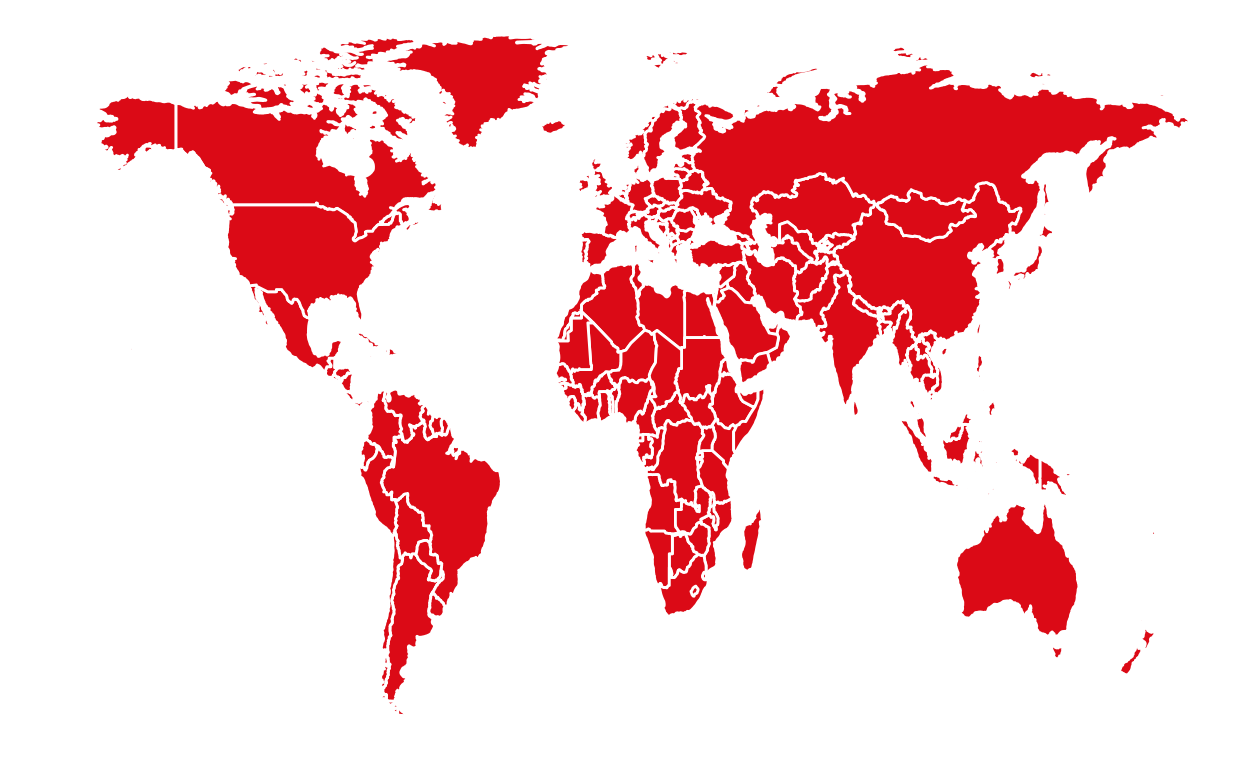
2. Spatial Analysis
Reading and mapping spatial data in R.
3. Mapping with Leaflet
Create interactive maps with Leaflet.
4. Spatial Econometrics
Focusing on the specification of spatial dependence, on specification tests to detect spatial dependence in regressions models and on basic regression models that incorporate spatial dependence.
ACCESS TO THE COURSE
Citation
For attribution, please cite this work as
Warin (2020, April 16). Thierry Warin, PhD: [R Course] Mapping, Spatial Analysis & Econometrics in R. Retrieved from https://warin.ca/posts/rcourse-mapping-spatialanalysis-econometrics/
BibTeX citation
@misc{warin2020[r,
  author = {Warin, Thierry},
  title = {Thierry Warin, PhD: [R Course] Mapping, Spatial Analysis & Econometrics in R},
  url = {https://warin.ca/posts/rcourse-mapping-spatialanalysis-econometrics/},
  year = {2020}
}